Restoration

Ecological Restoration Activities
Habitat restoration at WBNERR is intended to improve the ecological integrity and biogeographical representative character of the Reserve, provide additional habitat for threatened and endangered species, and address information gaps in the science of habitat restoration.
The Waquoit Bay watershed, like most coastal areas in the Northeast U.S., has a long history of human alteration. Even the lands and waters that are now protected within the Reserve and appear “natural” have been altered from their pre-colonial condition and may not be providing the full ecological functions that they once did (or could). Restoration planning on the Reserve falls into three major areas for this planning period. These are river restoration projects, sand plain grassland restoration, and forest restoration.
River Restoration Master Plan
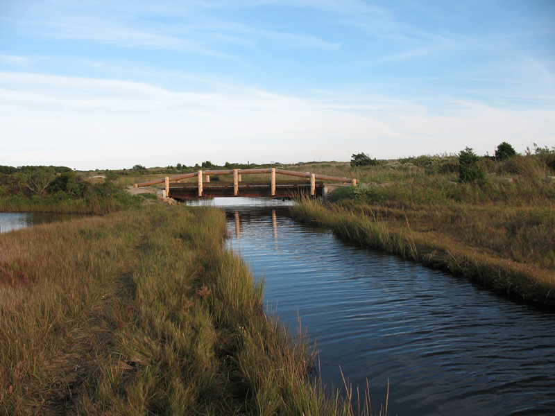
Through a grant from Mass. Coastal Zone Management, WBNERR hired a consultant to develop a River Restoration Master Plan for the seven tributary streams into Waquoit Bay. Rather than looking at the rivers, and even impediments, on an individual basis, we used a watershed approach to identify and prioritize potential restoration projects so that we would be ready when construction funding becomes available. Project partners who brought their knowledge and expertise to the table included US Fish and Wildlife Service, MA Fish and Wildlife, Mashpee Wampanoag Tribe, MA Division of Marine Fisheries, Trout Unlimited, and natural resource agents from Falmouth and Mashpee. The result is a comprehensive document that describes impediments to fish passage and other habitat degradation along the streams. Four projects aimed at mitigating these problems were deemed to have overall greater potential, from the standpoints of both construction feasibility and education/research potential. The Plan provides conceptual designs and cost estimates for implementation of three of these projects, and a narrative description of further information needed for the fourth. WBNERR intends to work toward carrying out these projects over the years as funding is available.
Projects include:
- a partial breach and nature-like fishway at the Carriage Shop Dam on the Childs River.
- a stream and forested wetland restoration within the footprint of abandoned cranberry bogs on the upper Quashnet River, now owned by the Town of Mashpee.
- a replacement culvert on Abigail Brook.
- a series of former cranberry bog earthen embankments/impoundments with various control structures on the middle reach of the Quashnet. This project would require much more survey and other work for concept drawings to be developed; it is therefore described as a good candidate for restoration, but not brought to the level of planning of the other three.
The projects identified here as part of the Master Planning process include a variety of habitat types to be restored, restoration methods, ownership, and geographic distribution within the watershed.

Coastal Sandplain Grassland
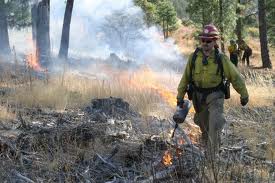
The Reserve contains several small areas of remnant coastal sandplain grassland. This once common natural community is now rare because it has been replaced by coastal development or the wildfire disturbances that once maintained it are now arrested. The Reserve uses mechanical methods and prescribed fire to control natural succession and restore sandplain grassland habitat on Washburn Island and at the headquarters site. These activities promote the rare natural community and species that comprise it, including Agalinis acuta (sandplain gerardia) and Liatris borealis (New England blazing star). Agalinis is on the Federal endangered species list and Liatris is a state-listed plant of special concern.

Forest Restoration
Several areas on the Reserve have been identified as critical habitat for New England Cottontail. This species is a candidate for listing under the Federal Endangered Species Act. During 2010-2012 the Reserve has worked with its conservation partners in the Mashpee National Wildlife Refuge to identify populations of New England cottontails, track their movements with radio collars, conduct habitat analysis and conduct genetic work to estimate population sizes and patch connectivity.


